
Elgin ZIP Coverage at a Glance
City material identifies 60120, 60123, and 60124 for incorporated Elgin. USPS routing material also associates 60121 and 60177 with an Elgin postal grouping. Those are not equal claims. The first set is the city's stated ZIP set; the second describes postal routing labels that require address-level verification.
| ZIP | Area in official material | Postal label | Search note |
|---|---|---|---|
| 60120 | One of Elgin's three city-identified ZIPs | Elgin, IL | Verify the street because delivery areas are not city boundaries |
| 60123 | One of Elgin's three city-identified ZIPs | Elgin, IL | Compare the exact address with parcel GIS |
| 60124 | One of Elgin's three city-identified ZIPs | Elgin, IL | Routes may extend beyond a municipal line |
| 60121 | USPS Elgin postal grouping | Elgin-associated routing | Not in the city's three-ZIP statement |
| 60177 | USPS routing association with the Elgin last-line group | Elgin-associated routing | May point toward South Elgin or nearby territory |
No official neighborhood-by-neighborhood ZIP polygon or local ZIP realignment history was located. The Elgin ZIP code directory therefore keeps postal routing, city limits, and parcel jurisdiction as three separate facts instead of drawing unsupported boundaries.
Why Elgin Has Five Labels
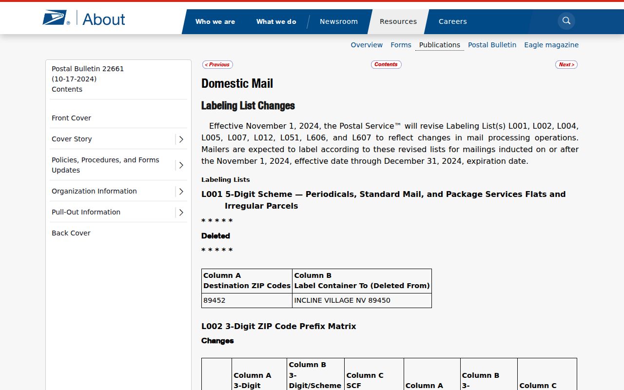
The USPS Postal Bulletin routing list associates 60120, 60121, 60123, 60124, and 60177 with Elgin postal routing. The City of Elgin uses the smaller three-code set in its own material. This is a local example of why a ZIP code directory cannot double as a city map.
The captured USPS routing page preserves that broader postal context.
Postal myth. An Elgin mailing address, a ZIP, a tax mailing address, and the Elgin city limit are not interchangeable.
Check an Elgin Address With USPS
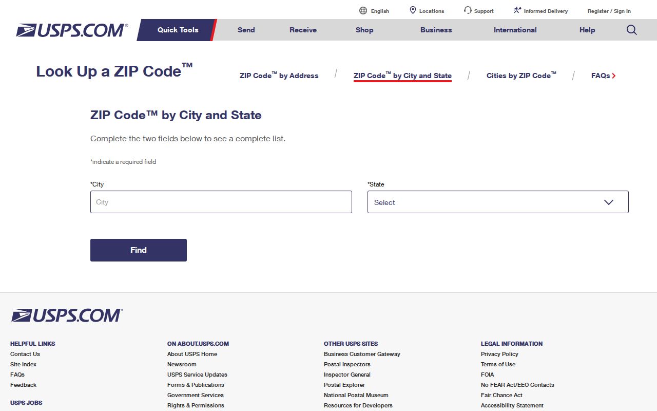
The official USPS ZIP Code Lookup is the best first test for the delivery label on a specific street. Search by address when possible. A city-and-state query may return several ZIPs and cannot identify the county, township, or municipal boundary for one parcel.
The captured lookup shows the USPS entry point used before a parcel search.
Write down the returned street spelling, directional, unit, base ZIP, and ZIP+4. Those details can prevent a false miss in county systems that split house number, street direction, street name, and suffix into separate fields.
Note: USPS settles delivery formatting, while county and city maps settle parcel and municipal jurisdiction.
Find Residents Within an Elgin ZIP
Only some official tools accept a ZIP filter. Cook property information has a ZIP field, but Kane DevNet does not. A sound search changes method at the county line instead of forcing the same field into both systems.
- Enter the full street in the USPS lookup and save the delivery ZIP and ZIP+4.
- Use the City map, KaneGIS4, or CookViewer to identify the parcel's county, township, city status, and PIN.
- For Cook, search the property information system with house number, street, city, ZIP, or the 14-digit PIN.
- For Kane, use City=Elgin, street address, township, tax district, owner, or PIN in DevNet, then compare the address ZIP.
- Use any name, owner, or mailing field as a lead and confirm it with the office that keeps the record.
Once the ZIP has narrowed to a known road, the Elgin directory by street explains the parcel and address chain without treating ZIP geography as a resident list.
Search Cook Parcels by ZIP
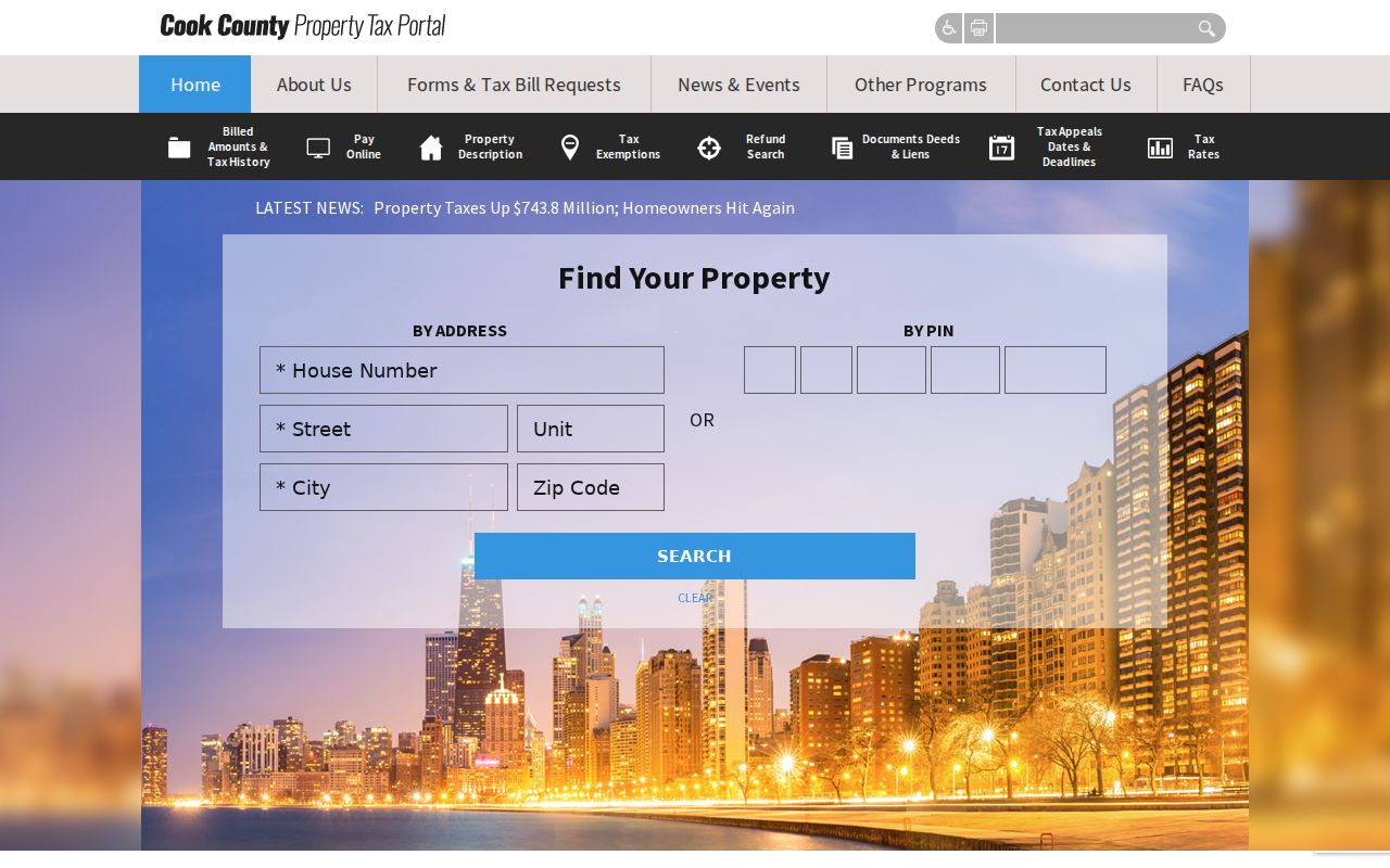
The Cook County Property Information search accepts house number, street, unit, city, ZIP, and a 14-digit PIN. Its record can include mailing information, tax history, exemptions, and document fields. A mailing address may belong to the owner or tax recipient and can differ from the physical parcel address.
| Cook search field | How to use it |
|---|---|
| House number | Enter the number returned for the exact USPS address |
| Street | Use the official street spelling and directional |
| Unit | Add it only when the address has a unit value |
| City and ZIP | Use both as filters, not city-limit proof |
| PIN | Use the 14-digit parcel identifier when known |
The captured Cook property search shows the ZIP-capable route for the Cook side of Elgin.
Read Cook ZIP Results Correctly
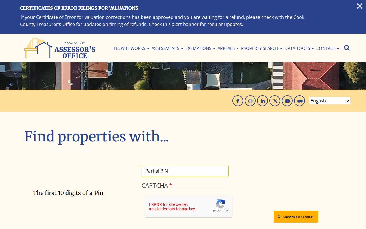
The Cook Assessor advanced search exposes partial PIN, address range, township, property class, applicant, and appeal filters. Its currently inspected form did not expose a ZIP field, so the Elgin ZIP code directory does not promise one there. Use the property information site for ZIP filtering, then carry the PIN into the assessor record.
The captured advanced form shows the available filter structure.
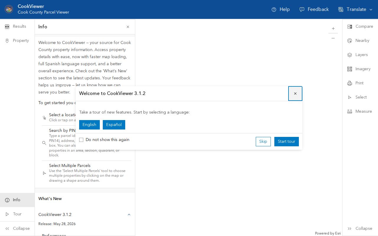
For map context, CookViewer can search parcels and intersections and provides yearly parcel layers from 2000 onward. The manifest capture documents that official map route.
Kane Elgin Searches Without ZIP
Kane DevNet was inspected with fields for parcel number, owner name, house number, street name, street type, city, township, subdivision, sale details, property class, tax year, and tax district. No ZIP field appeared. Search City=Elgin with the address or PIN, then compare the returned address with USPS.
KaneGIS4 also uses parcel and address suggestions rather than a ZIP filter. It adds tax maps, aerial layers, subdivision details, and parcel geometry. The PIN is the stable bridge from the map to DevNet and the Recorder, though parcel splits or merges can create a new identifier.
This difference is useful. Cook offers one ZIP-capable property route, while Kane makes the researcher prove the city, parcel, and tax district through other fields. Neither method turns all addresses in a ZIP into a current resident roster.
Decode Elgin Postal Terms
Postal terms describe delivery. They should not be reused as parcel or city-boundary terms.
- ZIP code
- A five-digit postal delivery area and last-line label.
- ZIP+4
- Four added digits that narrow delivery to a segment, building, box group, or other route detail.
- PO-box ZIP
- A ZIP used for post-office boxes rather than a mapped residential delivery area.
- Unique ZIP
- A ZIP assigned to one high-volume organization or delivery point.
- Carrier route
- A group of delivery points served on a postal carrier's route, not a city district.
A USPS result may identify a PO box, a unique code, or a ZIP+4 without describing any residential parcel. Match the exact result type to the question being asked.
Elgin ZIP Filters Need Dates
State tools can accept city or ZIP fields without proving current residence. The Illinois professional-license search can filter by ZIP, but the result describes a regulated credential and excludes home contact fields. Illinois iCash accepts a name, city, and ZIP, yet its address is a last-known address tied to unclaimed property. A registry ZIP has its own legal scope.
Label the field, source, and update date every time. “License ZIP,” “tax mailing ZIP,” “last-known ZIP,” and “parcel situs ZIP” are different claims. Combining them into one current address would be misleading.
| Source | ZIP meaning | Safe conclusion |
|---|---|---|
| USPS | Current delivery label for the entered address | Mail routing |
| Cook property record | Entered property or displayed mailing field | Parcel or tax-record detail |
| IDFPR | Public license search filter | Credential geography |
| Illinois iCash | Last-known address on state-held property | Historical lead only |
Elgin ZIPs Versus City Limits
A ZIP code is a delivery area. Elgin's city limit is a municipal boundary, and the parcel layer maps property. All three can overlap without matching. Elgin also crosses Kane and Cook Counties, so a city address may lead to a different assessor, recorder, court clerk, voter office, or vital-record custodian.
Resolve a mismatch through the City of Elgin maps, county GIS, and the exact USPS address result. City planning or county GIS staff can help with an unclear boundary. Annexation maps, atlases, Sanborn maps, and directories may explain older place names, but no official historic ZIP map series was found in the research.
Older Elgin sources need an extra label. A directory entry, newspaper notice, or map may predate the modern ZIP system or use a former street number. Keep the historical place name and date in the research note, then match the building through a legal description, subdivision, or parcel history. Do not add a present ZIP to an old record unless a current parcel source supports that link. This preserves the difference between where a person appeared in the past and how mail reaches the property now.
The rule is simple: use USPS for delivery, GIS for geography, and the correct county office for the record. That keeps an Elgin ZIP code directory useful without overstating what any postal number can show.