
Elgin Neighbors Block Sources
Official records describe parcels, owners, election districts, and neighborhood geography. They do not create a verified list of everyone living on an Elgin block. Kane County has a documented buffer method that gathers nearby parcels. Cook County has a parcel viewer and archive layers, but no equivalent official buffer export was located. Choose the source by county and by the question being asked.
| Source | What It Shows About a Block | Access |
|---|---|---|
| KaneGIS4 | Parcel shapes, addresses, PINs, roads, and township context | Public map; PinInfo and TaxInfo |
| Kane GIS Buffer | Parcels and mailing addresses within a chosen distance | Address or PIN, Buffer Dist, then Mail |
| Kane DevNet | Owner label, situs, class, districts, and sale filters | Public portal; one parcel at a time |
| CookViewer | Adjacent parcels, intersections, details, and archive layers | Public map; parcel archive from 2000 |
| Elgin civic sources | Named groups, boundaries, meetings, and contacts | City map, plan, and association pages |
| Historic directories | Past occupants keyed to a dated address | Library and museum collections |
An assessor name proves only what that assessment source reports. A separate mailing address may mean the owner receives tax mail elsewhere, yet it does not identify a renter or current household. Note the portal, update date, PIN, and address label before drawing a conclusion about your neighbors. A PIN is the parcel identification number used to connect map and tax records.
Commercial compiled tools may merge old data without showing its date or custodian. Official records are narrower, but their field labels and update notices can be checked. Neither source type proves present occupancy from a name and street alone. For a sound Elgin neighbor search, keep property, household, and community facts in separate columns.
| Source type | Best use | Main limit |
|---|---|---|
| County parcel roll | PIN, owner label, property location | Owner may not be occupant |
| Civic group | Public boundary, meeting, contact | Not a resident roster |
| Compiled commercial tool | Possible lead only | Freshness and matching may be unclear |
Map Elgin Neighbors by Parcel
On the Kane side, KaneGIS4 supplies the geometry needed to move from one address to its immediate block. The official Kane buffer instructions add a radius tool. It is a valuable insider route because a plain assessor search normally returns one parcel at a time.
- Search the center address or PIN in KaneGIS4 and confirm the parcel.
- Open gold PinInfo, set Buffer Dist in feet, and choose Mail.
- Save the returned PINs and mailing addresses without calling them occupants.
- Run each PIN through Kane DevNet to read the assessor owner fields.
- Keep the map date, aerial year, and GIS accuracy warning with the results.
The process is address to parcel, parcel to buffer, buffer to PIN list, and then each PIN to the assessor record. For a whole named road instead of the immediate radius, use the Elgin directory by street workflow.
The image below comes from the official buffer page. It shows the public entry point, while the final parcel and owner facts must still be read in the current county systems.
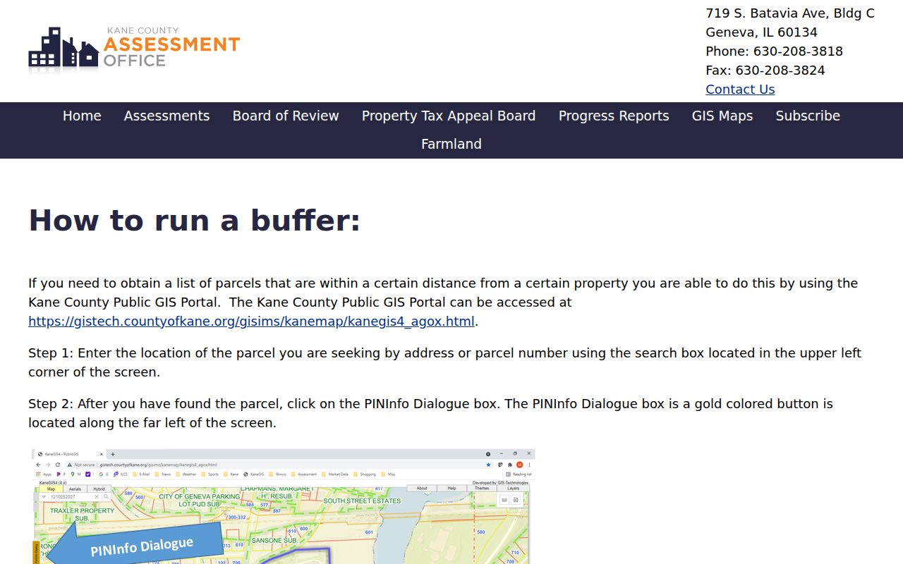
The buffer lists nearby property records, not personal relationships. That difference matters on dense Elgin blocks where one parcel may contain several homes or units.
Elgin Neighbor Maps Are Not Surveys
Kane County's GIS accuracy guidance states that the map is not a survey. Parcel lines help find records, but they should not settle a boundary dispute. “Adjacent” means the shapes touch or fall within the selected buffer. It does not establish shared ownership, kinship, association membership, or anyone's physical presence.
The captured Kane GIS guidance preserves those limits at the source.
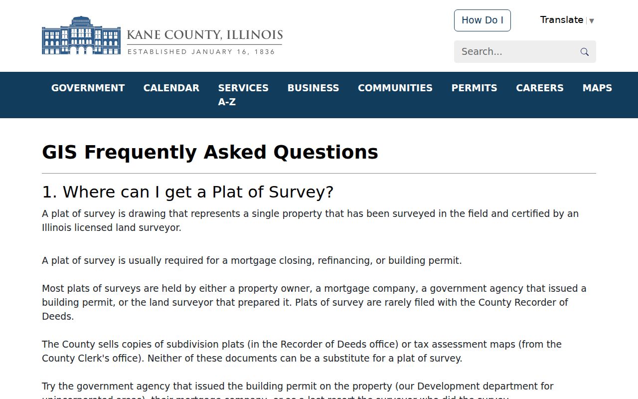
The county warning keeps a convenient parcel display from being mistaken for a survey.
KaneGIS4 offers aerial choices from selected years between 2014 and 2025. They can show visible block change at those dates, not a continuous annual history. Use one dated layer for a comparison. If map geometry conflicts with a deed, plat, or survey, consult the record custodian.
Note: GIS is an index to land and block context, not legal proof of a boundary or a verified list of Elgin neighbors.
Cook-Side Elgin Neighbor Records
Elgin's county split changes the tools. CookViewer searches parcels and intersections, shows a parcel detail panel, and includes archive layers from 2000 forward. Use each Cook PIN with the Cook Assessor address search. The inspected sources did not document a Cook workflow matching Kane's Buffer Dist and Mail action.
Identify touching parcels visually, note their PINs, and inspect the records one at a time. Keep property-location wording separate from a legal or postal mailing address. CookViewer's May 2026 release makes capture dates important because layers and parcel details can change.
Elgin Neighborhood Groups and Boundaries
The City neighborhood map names about 30 groups, while a city plan says roughly 90 neighborhood and homeowners associations exist. Neither is a current roster of Elgin residents. These sources work best for public boundaries, meetings, planning topics, and civic contacts. Verify that a group is active before relying on an old map label.
Northeast Neighborhood Association
Public boundaries run from Kimball Street to Trout Park and Dundee Avenue to the Fox River. Its page describes meetings and civic work.
Downtown DNA
A downtown community contact and directory for public civic questions, not a household list.
City Neighborhood Map
Names Lords Park, Gifford Park, Shoe Factory, Century Oaks, and many other Elgin areas.
NENA gives the clearest public example. Its streets and river edge define a civic area, but do not prove that a person is a member. The screenshot below shows the group's public description and should be used only as a community gateway.
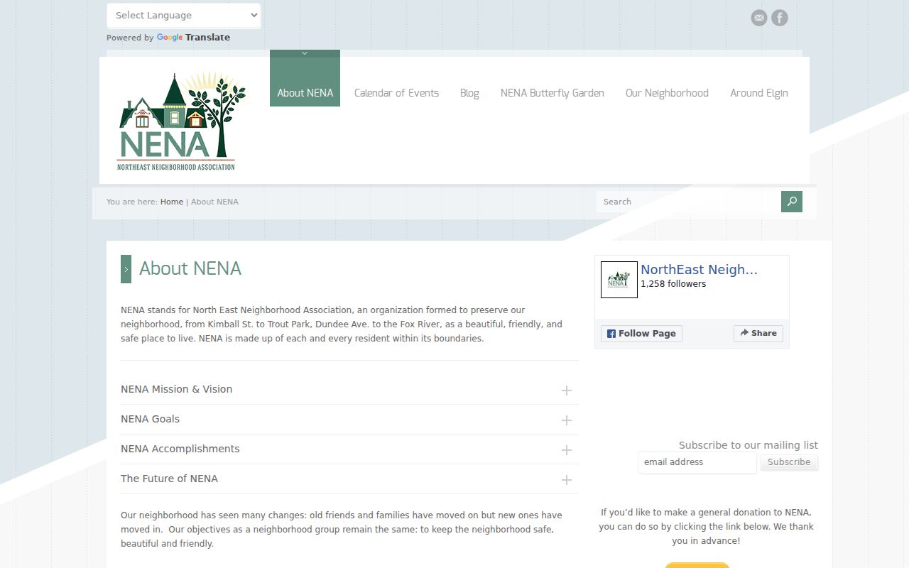
Public meetings and contact forms are suitable routes for neighborhood questions. Private member information should remain private.
Elgin Block Voter Data Limits
Kane's voter workflow accepts address details for registration status, district, polling place, and ballot information. It does not provide an open block roster in the inspected interface. Illinois law redacts and restricts voter-list data, including copying, transmission, and misuse. Election tools should serve a user's own lawful registration and district needs, not compile people near an address.
GIS can identify parcels, and city sources can identify civic areas. Historical directories can reconstruct a past block with a clear edition date. Current voter details should not be used as a substitute for either source.
Historical Elgin Neighbors Need Dates
For an earlier block, replace current owner tools with sources created near the target year. Elgin city directories began in the nineteenth century, and address indexing becomes especially useful around 1900. A dated directory can place a named householder or business at an address. Sanborn maps from 1887, 1891, 1897, 1903, 1913, and 1939 can then show building footprints and uses on the same block.
Street numbering complicates the match. Elgin revised numbers in the 1870s, 1884, and 1894, while names such as Main, Dexter, Mill, and Railway later changed. Build an old-to-new address crosswalk before listing historical neighbors. Pair the directory with the nearest census, deed, newspaper, or obituary record, and retain the edition year beside every name.
Gail Borden Public Library supplies directories, maps, microfilm, newspapers, and genealogy help. Elgin History Museum offers its 1892 directory search and building lookup. These collections are available through online tools, library or museum visits, staff contact, and research requests. They describe a past block, not the people who live there now.
Keep each neighbor entry tied to a source year and printed address. A household can move between editions, a building can be renumbered, and a parcel can split or merge. If a directory and map disagree, check the abbreviation key, old street name, legal description, and the next available edition before deciding that either source is wrong.
Privacy for Elgin Neighbors
Parcel systems usually identify recorded owners, not every resident. Utility accounts, delivery data, private membership lists, and unlisted household details are not public block directories. Illinois Safe at Home can provide eligible protected people with a substitute address for new public records. It does not erase all older records or guarantee that every property record disappears.
Use public channels with restraint. Kane GIS accepts questions by email or phone. Elgin planning and 311 handle city map or neighborhood issues. Gail Borden Public Library and the Elgin History Museum help with older blocks. Municipal permits and maps not posted may be requested through Illinois FOIA, but a records request does not make private household data public.
Lawful use. Find Elgin neighbors for civic contact, reconnecting, or personal safety awareness. Never use a lookup to watch, intimidate, stalk, or harass anyone.