
Walk an Elgin Street by Address
A street search works best as a chain, not as one broad name query. Elgin parcels sit in Kane or Cook County, so confirm the county before opening an assessor form. The current address identifies a parcel identification number, or PIN. That PIN then follows the land through tax, map, and recording systems even when a street name has changed. A voter or directory hit is separate evidence of a person at the address and must be dated.
- Enter the house number, street name, street type, and Elgin in the correct county assessor search. Save the PIN and the exact property-location label.
- Open the parcel in KaneGIS4 or CookViewer. Check the county, township, parcel shape, road label, and nearby lots rather than relying on the mailing city alone.
- Use the Kane voter tool only for a lawful registration inquiry. Its address workflow is not an open roster of every person on the block.
- Carry the PIN or legal description into the county recorder index. Work from the newest transfer backward through grantor and grantee names.
- For an earlier household, check the dated address indexes at Gail Borden Public Library and the Elgin History Museum's old-and-new address search.
The sequence separates four claims that are often blurred: where a parcel lies, who the tax roll names, who received or transferred title, and who appeared at the address in a dated source. The Elgin street directory is strongest when each claim keeps its own source and date.
Search Elgin Streets in DevNet
Kane County DevNet is the main Kane-side assessor search. Its address form splits a street into fields, while owner-name search is a separate mode and asks for the name as shown on the tax bill. The public data are a working file, not a tax bill, and may contain errors. DevNet reported tax data by year back to 2004 in the county FAQ.
| DevNet field | How to enter it | Why it matters |
|---|---|---|
| House Number | Numeric street number | Separates parcels on the same named road. |
| Street Name | Name without the type | Avoids mixing the core name with ST, RD, or AVE. |
| Street Type | Choose a form such as ST, RD, or AVE | Matches the assessor's standardized address. |
| City | Elgin | Narrows the assessor file, but does not prove city limits. |
| Advanced filters | Tax years, sale dates, township, class, subdivision | Refines a broad street or sale search. |
When the address misses, remove punctuation and test the standardized street type. The Elgin Township Assessor search offers PIN, street-address, subdivision, and sales tabs. Staff at the township office can also help with current parcel characteristics and assessment records.
The captured Elgin Township address search shows the local form.
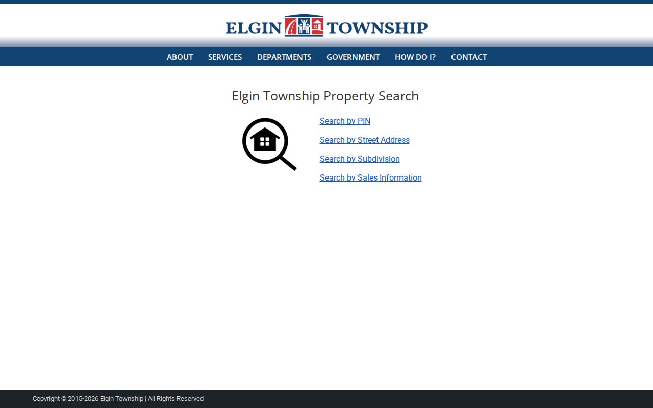
Its street and subdivision tabs offer a second Kane-side route when a county query misses.
Map Elgin Street Parcels
KaneGIS4 accepts a full address, street name, or PIN. It adds the visual facts that a row of assessor results cannot: parcel edges, roads, township context, zoning, flood and drainage layers, sales, and tax maps. The viewer also offers aerial choices from 2014 through 2025, though those are selected years rather than a continuous annual archive.
The official PinInfo tool identifies a parcel. Buffer Dist can then list nearby parcels and mailing addresses, and each returned PIN can be checked in DevNet for the assessor owner field. That is useful for examining a short run of lots. It does not prove that mapped owners are occupants or connected to one another.
The successful manifest capture comes from the KaneGIS4 address and parcel viewer.
The screen illustrates why the map and assessor record belong together: geometry provides context, while the PIN links the mapped lot to the owner and deed indexes.
For Cook-side addresses, use CookViewer. It searches by address, PIN, or street intersection and includes parcel archive layers from 2000 to the current release. KaneGIS4 and CookViewer both warn, in substance, that their maps are not surveys or certified legal descriptions.
Elgin Address Records Compared
No official citywide roll identifies every person living along a street. Each address-keyed source answers a narrower question. Use the following coverage as a decision table, then preserve the displayed field names rather than translating every result into “resident.”
| Address source | Custodian | What the record supports | Access route |
|---|---|---|---|
| Assessment roll | Kane, township, or Cook assessor | Owner field, property location, values, parcel traits, exemptions | Public portal; office help is available |
| Parcel map | Kane GIS or Cook GIS | PIN, parcel shape, nearby lots, selected map layers | Public viewer; not a survey |
| Recorded instruments | Kane Recorder or Cook Clerk Recordings | Grantor, grantee, instrument, legal description, recorded transfer | Online index, office terminal, copy request |
| Voter workflow | Kane or Cook election authority | Limited registration and election information | Public lookup or county office, subject to state limits |
| Permits and city files | City of Elgin | Work at an address and names recorded in a municipal file | Permit portal, city desk, or FOIA request |
| Dated directories | Library and museum | Named listings at an address for a stated year | Online forms, second-floor room, microfilm, staff request |
The Kane County Recorder offers free public index searching back to 1837 and six public research computers in Geneva. Cook recording functions moved to the Cook County Clerk in 2020. If an online search fails, the fallback is an office terminal, staff inquiry, copy request, or a search by legal description, tract, subdivision, and party name.
Decode Elgin Address Labels
A street directory result is easy to misread when a tax mailing address is treated as the building location. Kane's mailing-address correction form changes where tax mail goes, not ownership. Cook's assessor separately labels Property Location and warns that it may not be the legal or postal mailing address. Keep those labels intact.
- Parcel or PIN
- The county's identifier for a mapped tax parcel. A split or merge can create a new number.
- Situs address
- The physical location assigned to the parcel or improvement.
- Plat
- A recorded drawing that identifies subdivision lots, blocks, dimensions, or easements.
- Criss-cross directory
- A directory arranged by address or phone rather than only by surname. Elgin's verified address-index method begins around 1900, but a separately catalogued criss-cross run was not confirmed.
An owner may receive a bill elsewhere, and a trust may use an office address. A current occupant may never appear in the owner field. On an Elgin street directory worksheet, label these as property location, tax-roll owner, owner mailing address, and dated occupant listing.
Note: A tax-roll match is an owner-of-record lead, not proof that the named owner lives in the building.
Follow Elgin Streets Into Deeds
Begin with the PIN and legal description from the assessor or GIS. Then open the Kane Land Records Search or the Cook County Clerk recording route. A grantor is the party transferring an interest; a grantee receives it. Preserve the instrument number and type, recording date, book and page, legal description, and image reference when shown.
To move backward, open the newest transfer and search its grantee as a grantor in earlier records. If the street address fails, switch to subdivision, lot, section-township-range, tract, or old address terms. A parcel split, merger, or annexation can require more than one PIN. Deeds support an ownership trail, not a full list of household members.
Property Watch can send a free email when a new document records against a Kane parcel. It is a forward alert, not a substitute for the backward index. At the Geneva office, the public computers and recorder staff remain useful when an image or older index is not available through the web shell.
Three Elgin Numbers, One Building
Elgin changed its street-number system in the 1870s, 1884, and 1894. The 1884 scheme used Chicago Street and the Fox River as baselines. The 1894 revision shifted baseline logic to Liberty Street and Vandalia, Union, or McClure. A pre-1900 building can therefore appear under three numbers even when it stayed in place.
The practical fix is a three-column address note: current number, 1884-era number, and 1894-era number. The Elgin History Museum 1892 directory form is unusually useful because it searches both current and old street numbers and names. Try every documented form before concluding that an entry is absent.
This is also where the Fox River becomes more than a landmark. Its role in the 1884 baseline helps orient old numbers and legal descriptions. Current GIS, historic maps, and Sanborn sheets can then test whether the building footprint stayed put while the address label changed.
Old Names in Elgin Records
Street-name changes can break a search even after the number has been converted. Gail Borden Public Library's Kane County house-history material supplies concrete alias pairs. Main became State, Broadway became North State, Dexter became National, Grove became Lynch, Mill became Douglas, Railway became Wellington, and River Street split into Hendee and Grove.
Search the current and former name in directories, deed indexes, atlases, construction reviews, and newspapers. Use the PIN or legal description as the bridge back to modern systems. Spelling, directional prefixes, and street types may vary by publisher, so record the exact form printed in each source.
For more on the historic volumes themselves, their publisher runs, and how entries are arranged, use the Elgin city directory collections. The street page keeps its focus on matching an address across systems.
Elgin Permits by Street Address
The City of Elgin permit search adds a municipal layer to the parcel trail. A permit can document work at an address and may identify parties connected to the project. It should be read as a dated city file, not as a household roster. Building age or a remodeling date can then be compared with the assessor card, aerials, Sanborn maps, deeds, and newspaper construction reviews.
The manifest captured the Elgin permit search by address.
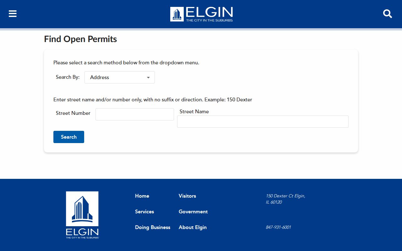
The form provides an online starting point. If a needed permit, code case, old street file, or map is not posted, contact the city department or use an Illinois Freedom of Information Act request. City 311 is available at 847-931-6001, and the city planner contact documented in the research is 847-585-8914.
Location-based incident requests follow the city's separate police records channel.
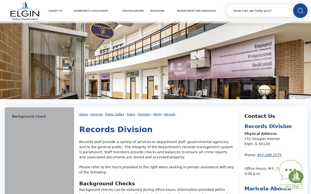
The records page is a request route, not an open list of people at an address.
Route Elgin Streets by County
An Elgin mailing line does not decide jurisdiction. Most of Elgin is in Kane County, but part lies in Cook County. Check the city and county GIS before ordering a deed or calling an office. Kane offers DevNet, KaneGIS4, the Recorder's LRS, and an explicit buffer workflow. Cook uses its Assessor, CookViewer, property-information portal, and Clerk Recordings.
The form design differs as well. Cook's address search requires house number, direction, optional unit, street name without suffix, city, and CAPTCHA. Its PIN search expects an exact 14-digit number. CookViewer can search an intersection and show parcel archives from 2000 forward. Copying Kane field instructions into the Cook system will produce avoidable misses.
County check. Confirm county, township, and PIN on the map before moving from an Elgin address to a recorder or election office.
Limits of an Elgin Street Directory
Public parcel systems do not identify every person in a home. A tax roll generally names the owner field. The owner may live elsewhere, and renters or other household members may not appear. Utility customer lists were not available in the inspected public systems, and driver address data is restricted by federal law. Voter information is limited by Illinois rules and should not be turned into a block roster.
Directory entries and voter results also have dates. A past city directory can show a listed person or business in one issue, while an assessor record reflects a later tax cycle. Same-name matches need a second identifier such as a PIN, legal description, record date, or independently confirmed address. When the goal shifts to verifying one named person, use the Elgin resident lookup workflow.
Lawful use. Use Elgin address records for lawful personal research. Never use them to stalk, harass, intimidate, or harm another person.
The honest conclusion may be limited: a named party owned a parcel, received tax mail, signed a recorded instrument, or appeared in a dated directory. None of those facts alone proves a complete current household.